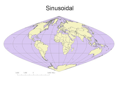
Sinusoidal Equidistant:
Distance from Washington D.C. to Kabul, Afghaninstan: 8,168Mi
Distace at the Equator: 24,884Mi
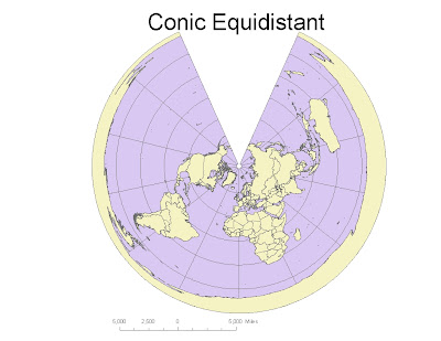
Conic Equidistant:
Distance from Washington D.C. to Kabul, Afghaninstan: 6,985Mi
Distace at the Equator: 25,329Mi
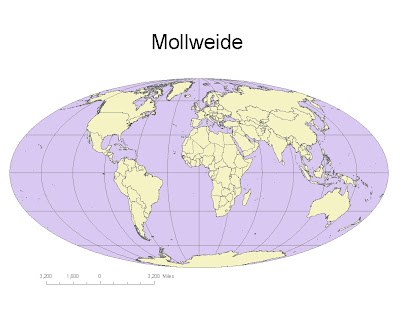
Mollweide Equal Area:
Distance from Washington D.C. to Kabul, Afghaninstan: 7,924Mi
Distace at the Equator: 22,437Mi
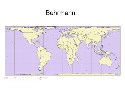
Behrmann Equal Area:
Distance from Washington D.C. to Kabul, Afghaninstan: 8,786Mi
Distace at the Equator: 21,632Mi
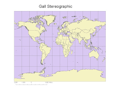
Gall Stereographic Conformal:
Distance from Washington D.C. to Kabul, Afghaninstan: 7,168Mi
Distace at the Equator: 17,168Mi
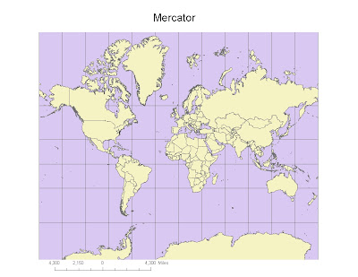
Mercator Conformal:
Distance from Washington D.C. to Kabul, Afghaninstan: 10,105Mi
Distace at the Equator: 24,957Mi
While working with these map projections you quickly realize that unless you choose the right map for your objective, the information you seek could be distorted or inaccurate. Finding a map that fits your purpose is probably one of the most important goals when you using map projections. We worked with three different types of map projections: conformal maps, equal area maps, and equidistant maps.
The conformal maps are good for retaining angles because all the angles are 90 degrees. The downsize to these map types is that as you get closer to the poles you begin to get distortion and progressively gets worse as you go further North or South.
The equal area maps were good for preserving area. Unfortunately, the maps are best suited for targeting certain areas of the world at a time because if not you will get distortion in the angles. These maps are best suited to show different places throughout the world if you don’t mind areas getting distorted in size.
The last projection was the equidistant projections. These are maps I am most familiar with being in the military and conducting planning for logistic movements. These maps are best used in order to preserve distant from one point to the next. The key to using these maps is ensuring you choose a map on the parallel or latitude that you want to get distant from. This will ensure the most accurate numbers when you need distance.
The key to using map projections is choosing the type of map that suits your goals or objectives the best. Additionally, having data on what you want to find or project is also useful because it allows you to pick your projection in accordance with your need.

9.7/10
ReplyDelete